Understanding Waterfowl Habitat Relations with Antebellum Rice Fields Using Drones in Coastal South Carolina
Akshit R. Suthar
Doctoral Student, Clemson University


Coastal South Carolina’s antebellum (Pre-Civil War) rice field impoundments play a crucial role in waterfowl conservation. The cultivation of rice began in the 1600s, deeply intertwined with the history of enslavement and the transatlantic enslaved laborer trade. Enslaved Africans brought their knowledge and technologies of rice cultivation from West Africa to colonial South Carolina, constructing extensive dikes and canal systems by hand to create rice field impoundments. These transformations converted tidal swamps and hardwood bottomland forests into highly managed agricultural systems. Although rice cultivation declined post-Civil War, the loss of labor as former enslaved persons were freed, and subsequent hurricanes and tropical storms caused extensive damage to the agricultural rice areas. Attempts to rebuild were unsuccessful due to costs, other factors, and increasing market competition from rice produced in Texas, Louisiana, and Arkansas. Today, approximately 95,000 hectares of antebellum rice fields are mapped and categorized as Tidal Functional, Tidal Broken, and Inland (Figure 1), with many managed for waterfowl. This habitat faces significant threats from sea level rise and climate change, exacerbating the degradation of rice field infrastructure through increased tidal amplitudes and more frequent tropical storms (Figure 2). There is ongoing debate about the impact of impoundments on wetlands and waterfowl habitats. Some argue that managed impoundments are more beneficial, while others believe that tidal wetlands would suffice if impoundments didn't exist. This highlights the complexity of conservation planning. Recent research underscores the high value of antebellum rice field impoundments for waterfowl. Accurate quantification of waterfowl utilization, along with understanding the biological and environmental factors driving high abundance, is essential for efficient conservation, management, and restoration of these habitats.
Drones are increasingly utilized in wildlife surveys, providing an aerial perspective of the landscape and overcoming accessibility and visibility challenges, which can be particularly limiting in waterfowl surveys. Our objectives were to 1) estimate waterfowl abundance by species and guilds within these rice fields using drone 2) investigate the relationships between waterfowl and impoundment characteristics, such as average water depth and vegetation types, to understand habitat preferences 3) evaluate the efficacy of drones for future waterfowl research. We conducted preliminary surveys at the Tom Yawkey Wildlife Center, Georgetown, during February and December 2023, utilizing a DJI Mavic 3T enterprise drone (Figure 3). We conducted aerial surveys of Tidal Functional rice field impoundments (N=2) (Blackout and Penfold) to estimate waterfowl abundance and species richness and collected high-resolution images of impoundments for modeling habitat characteristics using an ArcGIS Deep Machine Learning model. We conducted a traditional ground-based survey to compare both methodologies to count waterbirds.
Our findings reveal that the total average waterbird counts obtained from drone surveys were significantly higher, with an average of 2,202 birds counted. This is 347.21% higher compared to the average of 492 birds counted during ground surveys (Figure 4). Additionally, drone surveys were able to identify an average of 12 species, which is 8.7% higher than the 11 species identified through ground surveys (Figure 5). Our study demonstrates the effectiveness of drones for accurately identifying and quantifying waterbirds compared to ground surveys, especially in areas with large bird populations. Using ArcGIS Deep Machine Learning model, we classified and categorized impoundments in emergent and submerged vegetation, open water, and dikes. Kernel density estimation was used to analyze waterbird habitat selection, while Poisson regression models determined the impact of impoundment’s hydrological variables on waterfowl abundance (Figure 6). We found % submerged vegetation has a strong positive impact on waterfowl abundance across all species. % open water has positive impact with varying significance, average water level (cm) has positive impact with varying significance, % emergent vegetation has small or non-significant impact and, impoundment size (ha) has less clear impact, with some species showing negative or non-significant effects (Figure 7)). Integrating thermal and RGB images improved detection probabilities (Figure 8), demonstrating the added benefits of thermal imaging for waterfowl surveys. Our study underscores the importance of antebellum rice field impoundments in maintaining waterbird habitats and provides essential insights for conserving, managing, and restoring antebellum rice fields by focusing on key habitat features crucial for supporting waterbird populations. emphasize the need for advanced management strategies to conserve these critical waterfowl habitats amidst ongoing environmental changes.
Figure 1: Map showing the location and geographic extent of identified antebellum rice fields in South Carolina.
Figure 2: Damaged earthen dike and wooden trunk due to sea level rise and tropical storm events.
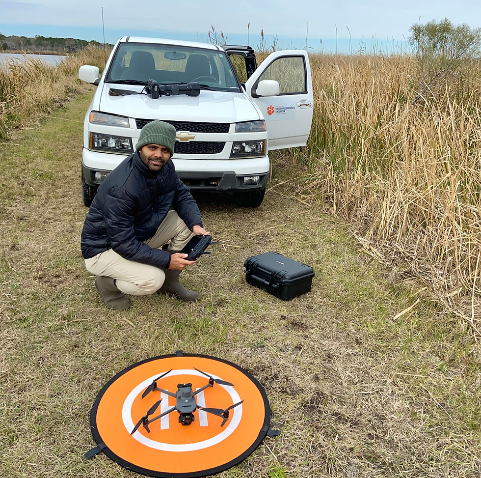
Figure 3: DJI Mavic 3T drone with RGB and thermal camera.
Figure 4: Graph compares the average species-wise waterbird mean counts by drone-based aerial and traditional ground survey methods.
Figure 5: Graphs show mean total average waterbird counts and species richness obtained from drone-based aerial and traditional ground survey methods.
Figure 6: Maps shows impoundment habitat classification using deep machine learning and Kernel density estimation to understand waterbird habitat selection within impoundments.
Figure 7: Graph shows the impact of impoundment’s hydrological characteristics on selected species' abundance.
Figure 8: Integration of thermal images with RGB images to improve detection probability.